
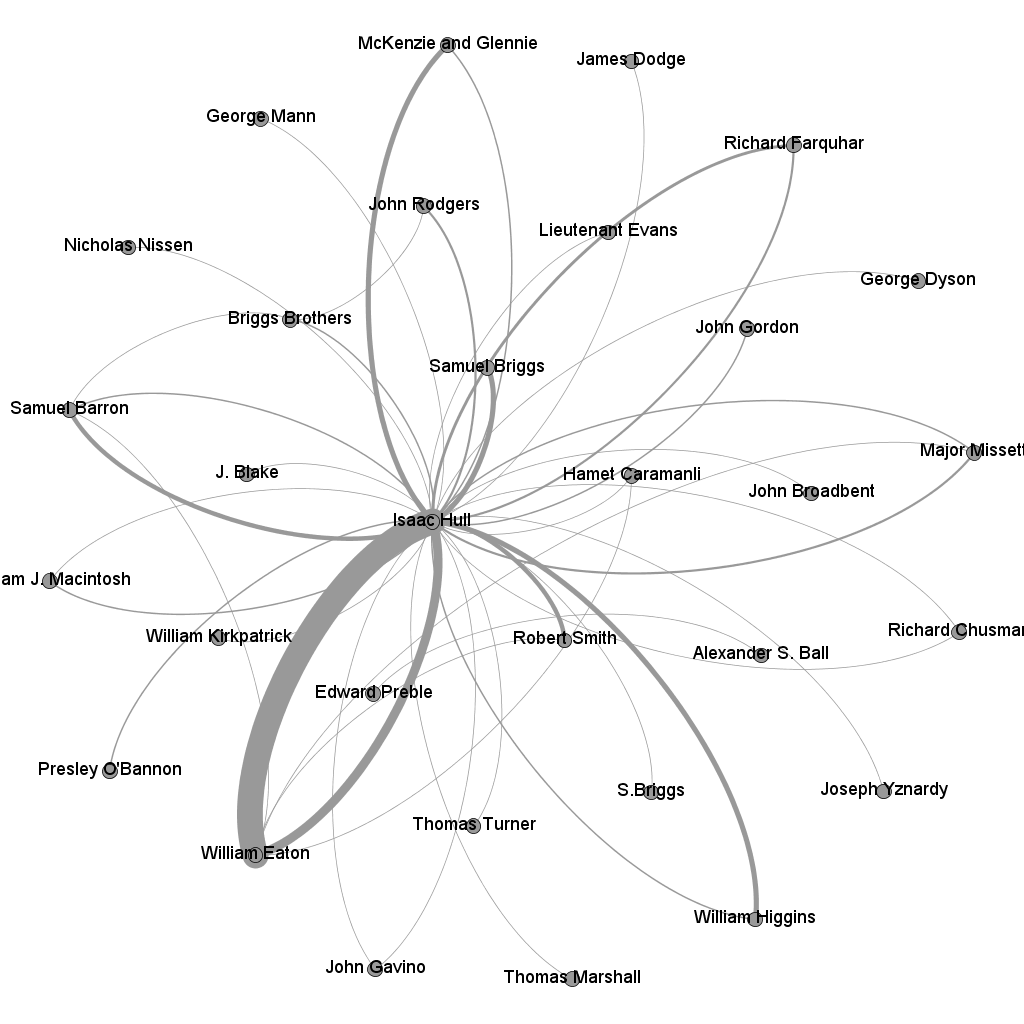
For the Maker Challenge, I present two network graphs of Isaac Hull’s correspondence. These graphs are a visualization of the letterbook of Master Commandant Isaac Hull, of the U.S. brig Argus, from 1803 to the end of 1805, when Hull was stationed in the Mediterranean and was part of the capture of the city of Derna (the engagement from which the Marine Hymn takes its phrase “to the shores of Tripoli”).
I built these network graphs in Gephi.
Here is a network graph depicting the correspondence of Hull using his correspondents as the nodes. The major correspondent, you’ll notice, is William Eaton. This isn’t surprising, considering that Eaton was the major American diplomatic player in the Mediterranean at the time, and also the mastermind of the capture of Derna.
The second network graph is a little more interesting. This graph shows connections not between people, but between places. I used the places as the nodes instead of the correspondents. I did this in order to demonstrate first, how much the same people moved around, and second, the potential problems encountered when a correspondent tried to write an important letter to a ship captain on the sea or military commander on the march.
Using the geographic indicators from the letterbook and other published papers from the Barbary Wars, I recorded the location of the sender and the probable location of the recipient. I geocoded these location markers in R and then uploaded that file as my nodes worksheet. Though the time constraints of the Maker Challenge did not allow me to layer this graph onto an actual map (besides the problem of finding a map that can distinguish between locations 12 miles apart and locations over a thousand miles apart), I did form the layout in a roughly geographical arrangement.
What you’ll probably notice is that no one place is extremely prominent. The US Navy used ports and consulates all over the Mediterranean for their operations, and as a result they communicated often with a wide and varied geographical area.

Just imagine the Mediterranean Sea on the right third of the graph, and the Atlantic Ocean on the left two-thirds.
